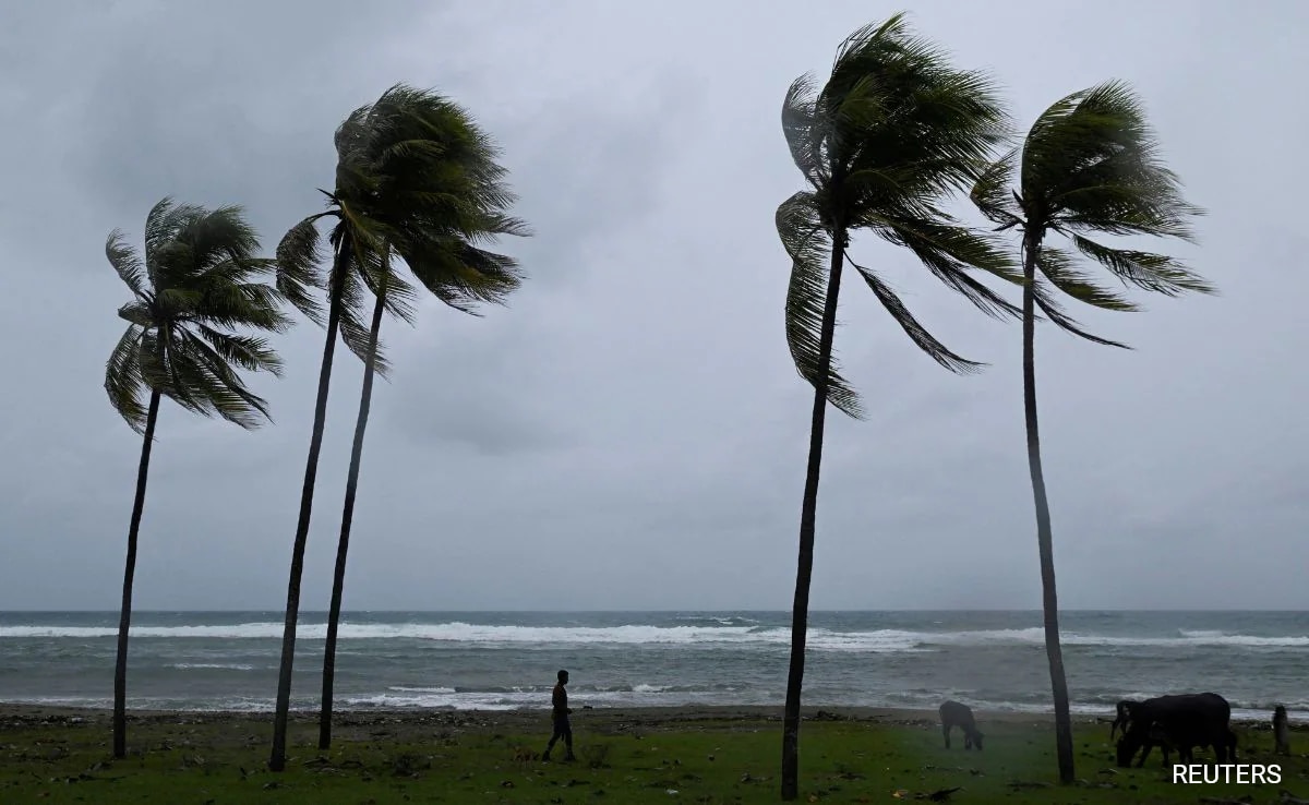
Hurricane Melissa: The Unprecedented Atlantic Storm Breaking Records and Revealing Climate Change Impacts
- Date & Time:
- |
- Views: 23
- |
- From: India News Bull

When Hurricane Melissa made landfall, it matched historical strength records for Atlantic hurricanes.
Hurricane Melissa, which devastated Jamaica with winds reaching 185 mph on Tuesday, represents an exceptional phenomenon even among the unprecedented number of massive storms that have formed in the increasingly heated Atlantic Ocean over the past decade.
Scientists expressed amazement at how Melissa managed to overcome at least three different meteorological factors that typically weaken major hurricanes, continuing to gain power even as it made landfall.
While rapid intensification—gaining 35 mph in wind speed within 24 hours—has become more common in recent storms, Melissa demonstrated something far more dramatic. It underwent extreme rapid intensification, gaining approximately 70 mph during a 24-hour period last week. Even more unusually, Melissa experienced a second round of rapid intensification that propelled its winds to 175 mph.
"It's been a remarkable, just a beast of a storm," noted Phil Klotzbach, hurricane researcher at Colorado State University.
Melissa's landfall tied historical records for Atlantic hurricane strength, both in wind speed and barometric pressure—key metrics used by meteorologists. According to Klotzbach and University of Miami hurricane researcher Brian McNoldy, the pressure measurement matched the deadly 1935 Labor Day storm in Florida, while the 185 mph winds equaled records set that year and during Hurricane Dorian in 2019. Hurricane Allen reached 190 mph winds in 1980, but not during landfall.
Typically, when major hurricanes intensify substantially, the wind circulating in the storm's center becomes so intense and warm that the eyewall needs to expand, causing a smaller one to collapse as a larger one forms. This process, known as an eyewall replacement cycle, usually temporarily weakens the storm, McNoldy explained.
Melissa showed indications it might undergo this process, but surprisingly never did, according to both McNoldy and Klotzbach.
Another unusual aspect was Melissa's behavior near Jamaica's mountainous terrain before moving inland. Mountains, even on islands, typically disrupt storm systems significantly, but Melissa remained unaffected.
"It was next to a big mountainous island and it doesn't even notice it's there," McNoldy remarked with astonishment.
Hurricanes derive their power from warm water. The hotter and deeper the water, the more a storm can intensify. Normally, when storms remain in one area for extended periods—as Melissa did for several days—they draw colder water up from the depths, reducing their fuel source. However, this didn't occur with Melissa, explained Bernadette Woods Placky, chief meteorologist for Climate Central, an organization of scientists and journalists studying climate change.
"It's wild how almost easily this was allowed to just keep venting," Woods Placky observed. "This had enough warm water at such high levels and it just kept going."
Melissa rapidly intensified during five six-hour periods, reaching extreme rapid intensification levels, according to McNoldy. It then accelerated by another 35 mph, which he described as "extraordinary."
For meteorologists tracking the storm, "just your stomach would sink as you'd see these updates coming in," Woods Placky shared.
"We were sitting at work on Monday morning with our team and you just saw the numbers just start jumping again, 175. And then again this morning (Tuesday), 185," Woods Placky recounted.
"It's an explosion," she stated.
A crucial factor was abnormally warm water. McNoldy noted that certain ocean areas beneath Melissa were 2 degrees Celsius (3.6 degrees Fahrenheit) warmer than the long-term average for this time of year.
Climate Central, employing scientifically accepted methodologies to compare current conditions with a hypothetical world without human-caused climate change, assessed global warming's influence on Melissa. Their analysis indicated that the water was 500 to 700 times more likely to be warmer than normal due to climate change.
A rapid analysis by the Associated Press examining Category 5 hurricanes that formed in the Atlantic over the past 125 years revealed a significant recent increase in these most powerful storms. Since 2016, there have been 13 Category 5 storms through 2025, including three this year. Until last year, no other 10-year period had reached double digits. Approximately 29% of Category 5 hurricanes recorded in the past 125 years have occurred since 2016.
McNoldy, Klotzbach, and Woods Placky acknowledged that hurricane records before the modern satellite era may not be as reliable, as some storms at sea could have gone undetected. Measurement systems for storm strength have also improved and evolved, potentially influencing data. Additionally, Klotzbach noted there was a period between 2008 and 2015 with no Atlantic Category 5 storms.
Nevertheless, climate science generally forecasts that a warming world will experience more powerful storms, even if the total number of storms doesn't necessarily increase, the scientists emphasized.
"We're seeing a direct connection in attribution science with the temperature in the water and a climate change connection," Woods Placky explained. "And when we see these storms go over this extremely warm water, it is more fuel for these storms to intensify rapidly and push to new levels."
Source: https://www.ndtv.com/world-news/why-cyclone-melissa-is-a-beast-among-monster-atlantic-storms-9534459